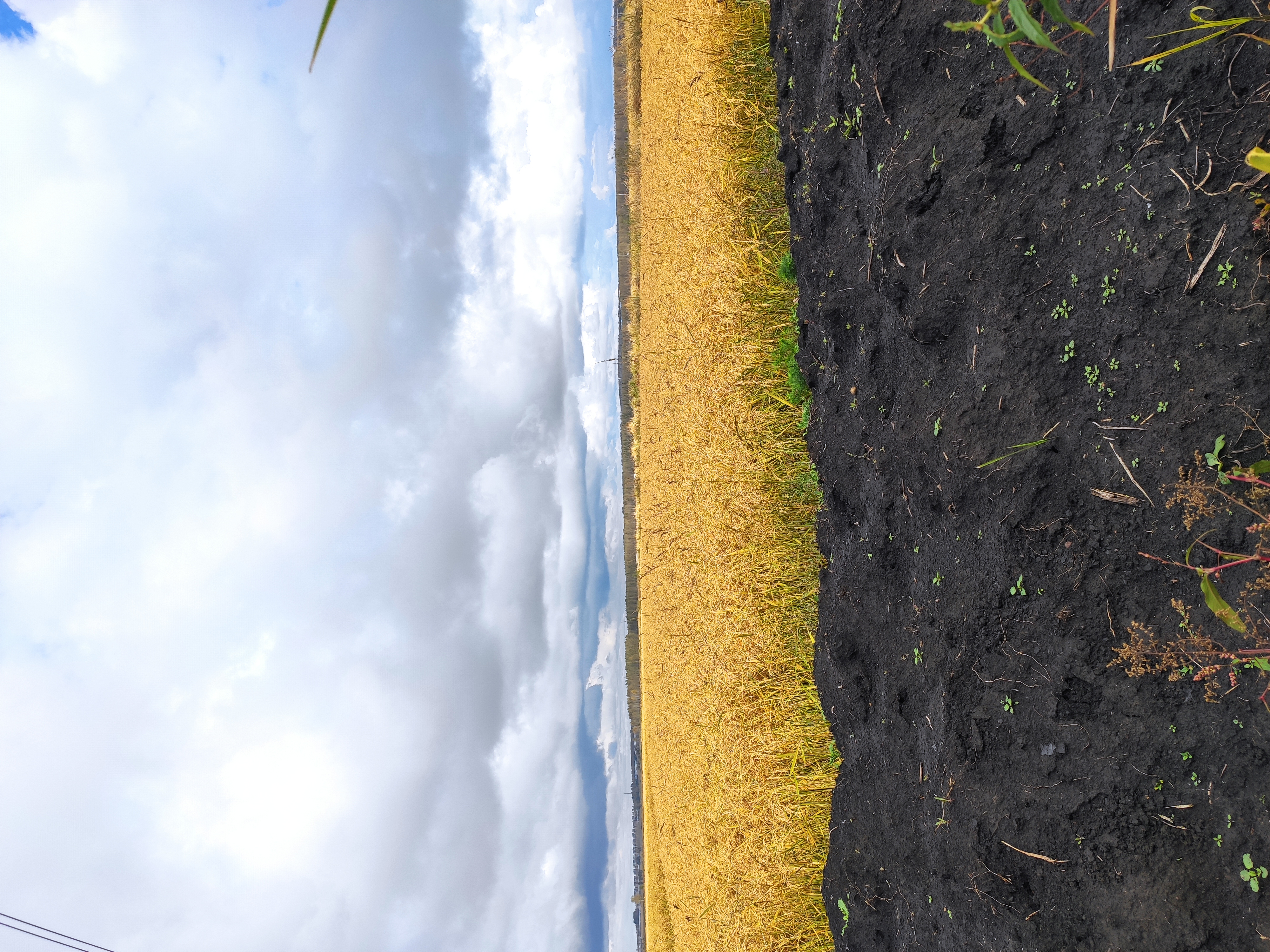
‘Black Soil’ is the popular name used in many countries of the world for soil with a thick and dark coloured surface horizon. This soil is among some of the most important and productive agricultural soil types in the world. After several decades of intensive cultivation, Black Soil types are facing serious degradation problems such as erosion and salinisation. It is, therefore, of paramount importance to survey and to study the world’s Black Soil regions, and to develop sustainable land use plans for their protection.
Globally, Black Soil occupies approximately 7% of the ice-free land area (approx. 9,200,000 km2). Black Soil primarily occurs in the middle latitudes of continents under unique morpho-climatic conditions.
Black Soil (mollisols or chernozems) is placed in categories depending on the soil classification system used.
Sampling of Black Soil, sensu stricto, is not included in the programme of the International Union of Geological Sciences (IUGS) Commission on Global Geochemical Baselines for the Geochemical Mapping of the Terrestrial surface of our home planet Earth, because it is an agricultural soil impacted by human activities. However, as Black Soil is considered to be among some of the most productive soil types in the World, it should quite rightly be studied separately from other agricultural soil types.
The present manual contains comprehensive instructions for sample site selection, sample collection and preparation, recommendations for preparation of project reference samples, laboratory analysis, quality control procedures that should be implemented, checking the quality of analytical data, required supporting information for interpretation of geochemical data, and need for the establishment of site-specific guideline values for Black Soil in the different regions of its occurrence.
The Global Black Soil Project is carried out under the auspices of IGCP 665 "Sustainable Use of Global Black Soil Critical Zone".
A map of the Global Black Soil regions is given in a Google Earth kml file. This file has been plotted by Edith Haslinger & Robin Friedrich (Austrian Institute of Technology GmbH, Centre for Energy, Vienna, Austria), and Harald Loishandl-Weisz & Thomas Rosmann (Federal Environment Agency Austria, Department of Groundwater, Vienna, Austria). The Global Black Soil regions were extracted from the 2012 Harmonised World Soil Data Base (version 1.2). The Harmonsed World Soil Data Base is in Microsoft Access format and can be downloaded together with a viewer and a comprehensive documentation from http://webarchive.iiasa.ac.at/Research/LUC/External-World-soil-database/HTML/. The brown colour intensity on the Google Earth kml and kmz maps refers to the percentage of Black Soil (the darker – the greater is the Black Soil acreage).
The software programs mentioned in the Manual, i.e., DUPREPPLOT, PDLPRECIS and ROBCOOP5 (now ROBCOOP4A) are available for downloading from the Software Programs web page.
For planning the sampling campaign of the Global Black Soil regions according to the specifications of the IUGS Commission on Global Geochemical Baselines, which are described in the Manual of Standard Geochemical Methods for the Global Black Soil Project, the following files should be downloaded:
- Google Earth kml and kmz files of the Global Black Soil regions: World_Black_soil_regions.zip
- Microsoft Excel Workbook of Global or Geochemical Terrestrial Network (GTN) of 7356 grid cells of 160x160 km
- Google Earth *.kml file of Geochemical Terrestrial Network of 7356 grid cells of 160x160 km (zip file)
- Microsoft Excel Workbook of 5 randomly selected points in each GTN grid cell of 160x160 km (version 1)
- Google Earth *.kml file of 5 randomly selected points in each GTN grid cell of 160x160 km (version 1 - zip file)
It is noted that files 2 to 5 are the same as used in the planning of the Global Geochemical Baselines programme sampling campaign in each country. In the case of the Global Black Soil project, the sample sites that will be selected for sampling within each 160 x 160 km GTN grid cell depend on the distribution of Black Soil in each grid cell.